
Do you need coordinates for a list of addresses, or an address for a point on a map, but don’t want to create an account or enter a credit card? LiKoToN OpenStreetMap Geocoder is a free web application that performs these tasks using OpenStreetMap data through the Nominatim service. It requires no API key, registration, or installation.
This is the third application in the same family as LiKoToN AutoMapa Geocoder and LiKoToN Google Geocoder. It has the same layout, tabs, and workflow, but uses open data.
What can it do?
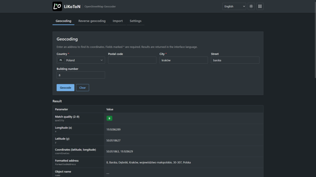
Geocoding. Enter a country, city, street, and house number, and the application returns coordinates along with a detailed address breakdown (province/state, county, municipality, district, postal code). You can enable or disable form fields in the Settings.
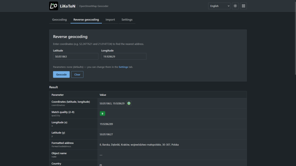
Reverse geocoding. Enter latitude and longitude (either in decimal degrees or DMS format), and the application returns the nearest address. You can choose the level of detail, from a specific building to an entire country, in the Settings.
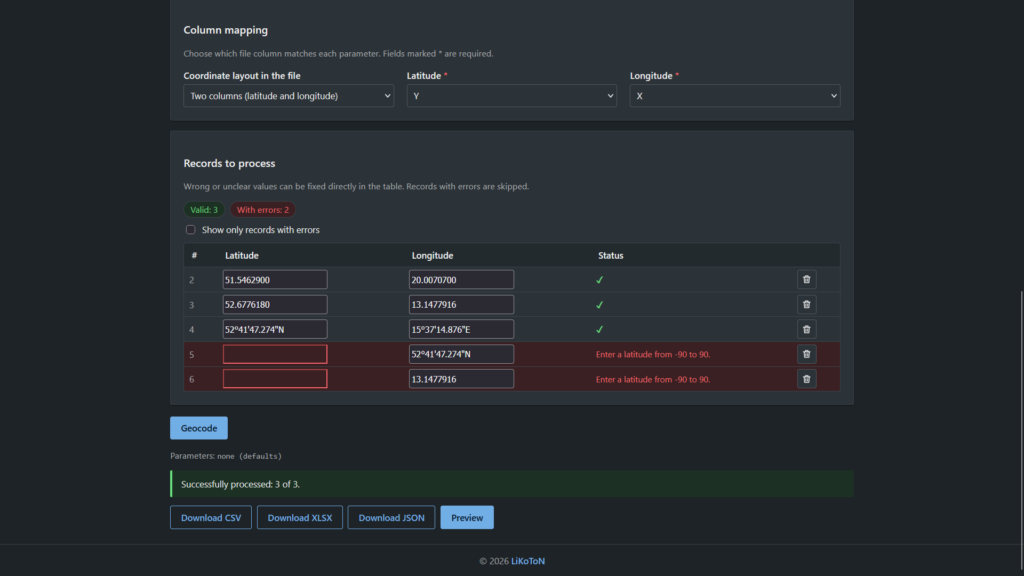
File import. Upload CSV or XLSX files, select the columns containing addresses or coordinates, and start processing. Results can be previewed and downloaded as CSV, XLSX, or JSON.
Match quality score (2–9). Each result includes a score. A score of 9 means a building with a house number was found, 7 means only a street was identified, 4 indicates a city, and 2 indicates a province/state or country. This makes it easy to identify records that require manual verification.
Map view. A button next to each result opens a preview of the location on OpenStreetMap, with a link to the full map.
Translated values. OSM categories, types, and object classes are displayed in your language, for example, “Store” instead of “shop”.
Seven interface languages: Polish, English, Czech, Slovak, German, French, and Spanish. Both light and dark themes are available.
What should you keep in mind?
The application uses the public Nominatim server, which has its own usage policy: a maximum of 1 request per second and no bulk geocoding. The application automatically respects this limit, so processing large files may take some time.
In the Settings, you can also provide your email address. It is passed to Nominatim as a contact address so that OpenStreetMap administrators can reach you if your requests cause any issues. This field is optional and is not used for any other purpose.
Video
Data and License
Data © OpenStreetMap contributors, licensed under ODbL. You may use the results in accordance with this license, provided that you give proper attribution to the source.
Version:
- 1.0.0
The application is available at apps.likoton.pl/losmg.

Leave a Reply