The Crown of Poland (Korona Polski) is a list of the sixteen highest peaks and elevations in each voivodeship of Poland. Not all locations on the list are natural mountains – some of them, such as Góra Kamieńska, are man‑made elevations.
List of Peaks
Below is the complete list of peaks and elevations that make up the Crown of Poland.
| Name | Elevation (m a.s.l.) | Voivodeship |
|---|---|---|
| Rysy | 2499 | małopolskie |
| Śnieżka | 1603 | dolnośląskie |
| Góra Pięciu Kopców | 1533 | śląskie |
| Tarnica | 1346 | podkarpackie |
| Biskupia Kopa | 889 | opolskie |
| Łysica | 614 | świętokrzyskie |
| Altana | 408 | mazowieckie |
| Góra Kamieńska | 406 | łódzkie |
| Krągły Goraj | 389 | lubelskie |
| Wieżyca | 329 | pomorskie |
| Dylewska Góra | 312 | warmińsko-mazurskie |
| Rowelska Góra | 298 | podlaskie |
| Kobyla Góra | 284 | wielkopolskie |
| Góra Krajoznawców | 248 | zachodniopomorskie |
| Góra Żarska | 227 | lubuskie |
| Czarna Góra | 189 | kujawsko-pomorskie |
You can also download this list as a PDF file. The downloadable version includes a column where you can record the date you reached each peak or elevation. Click the link below to download the file:
Interactive Map of the Crown of Poland
Below you will find a map showing the exact locations of all peaks and elevations included in the Crown of Poland.
uMap
AutoMapa Targeo
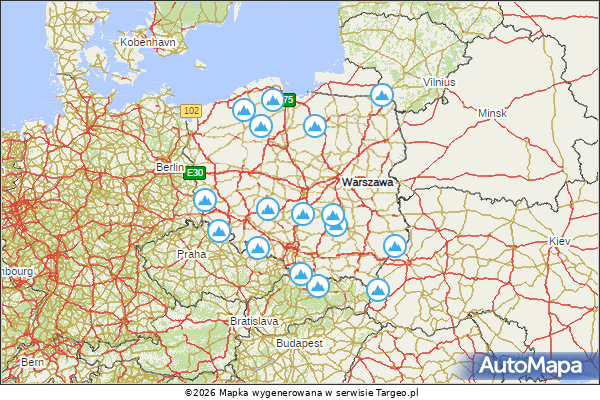
By clicking the image, you will open an interactive AutoMapa Targeo map where you can browse all points and view detailed information such as:
- Name
- Elevation
- Voivodeship
- Region
Important Note:
The AutoMapa Targeo map may not display correctly on mobile devices.
Other maps
The map containing the crown of Poland is not the only map I have created. On the Maps page, you can find other maps that may be of interest.
Leave a Reply